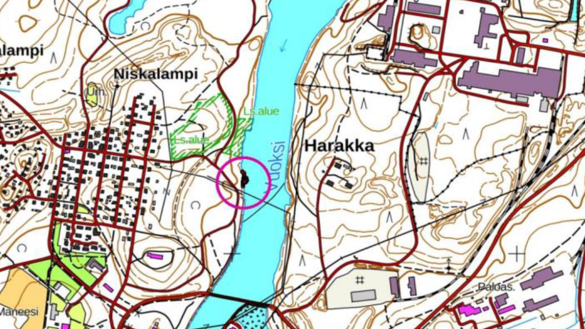
The demolition of Vuoksi's perkukivisaari has started in Niskalammi
The city of Imatra, Fortum and the ELY center continue a joint project to improve the living conditions of the lost migratory fish stocks in Vuoksi.
This time it's the turn to demolish a small rock island in Vuok in the direction of Niskalammi. The unnamed island to be demolished is located in the area between the Tainionkoski power plant and the mouth of Vuoksi. More precisely, the place is close to the point where Liippilahdentie is closest to Vuoksi beach.
The aggregate and gravel material of the island to be demolished will be spread near the demolition site. Traveling to the renovation area and bringing the necessary new material to the site takes place along the path of the carpet pier.
In addition, additional material will be brought to the planned renovation area, mainly gravel and stone material of a size suitable for spawning. This has to be stored in the nearby area for a short time.
─ We hope that those passing through the area will take into account the working machines on site, fishing master Tomi Menna says.
The island will be dismantled as soon as the frost allows it. The works must be completed before the surface of Saimaa starts to rise due to the meltwater.
The immediate vicinity of the island and its surrounding water area is owned by Fortum.
The city, ELY and Fortum have done it several already the like restoration measures to benefit the living conditions of migratory fish in particular by extracting ras a result of dredging, islands created from rock. For example, in the summer of 2020, Kokkasaari in the lower reaches of Vuoksi was demolished.
For more information:
Fishing master Tomi Menna, p. tomi.go imatra.fi (tomi[dot]menna[at]imatra[dot]fi), tel. 020 6174303
Aerial view of the island being demolished, created by previous dredging. The area marked in red is the plot boundary.
