The city's internet map service
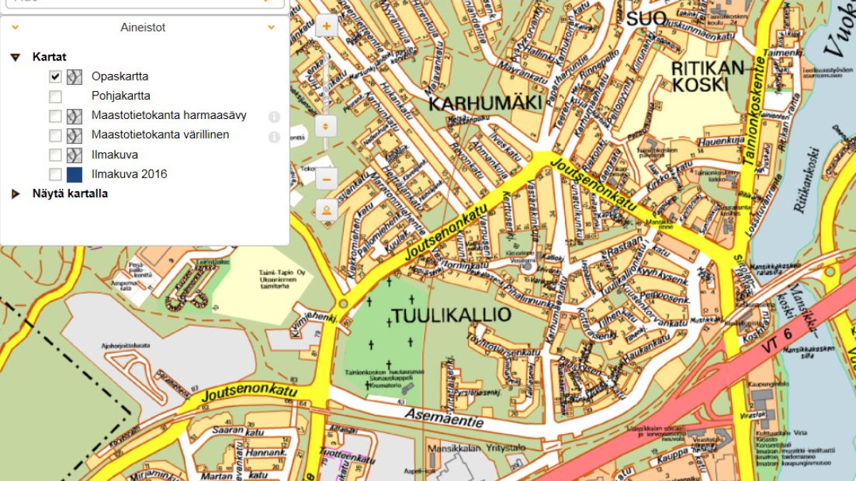
The map service is open to everyone, and there you can find, among other things, a guide map, an aerial view, the Land Survey's terrain map, information about buildings, plots of land, property boundaries and plans. The city's services have also been put on the map, for example schools and kindergartens, ATMs and pharmacies. The system also includes e.g. a couple of aerial photos from the 1930s, ski slopes, city-owned land and water areas, zip code areas and free detached house lots.
Different materials can be displayed by checking the box from the menus on the left side of the window. Distances and areas can be measured on the map with the "Measure" icon at the top. You can easily print the map with the "Print" button at the top and select basic printing.
The map service is maintained by the urban planning of the city of Imatra, e-mail town planning imatra.fi (city planning[at]imatra[dot]fi).