Imatra's height system is changing
The city of Imatra will introduce the new N2000 height system, which will replace the previously used N43 system.
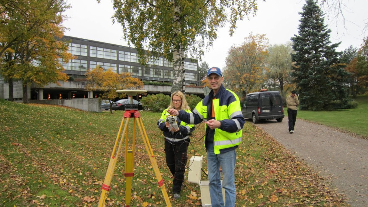
The change is due to the elevation of the land. In the N2000 system, which is already in general use, the ground at Imatra is 25 centimeters higher than in the previous height system from 1943.
The introduction of the new height system affects the activities of those stakeholders who exchange height information with the city or use maps or materials with visible height markings.
In the future, the files and paper maps provided by the city will have an identifier of the coordinate and height system (ETRS-GK29 - N2000).
old new
Coordinate system: KKJ4 ETRS-GK29
Altitude system: N43 N2000
Operating principles in the processing of real estate deliveries, terrain measurements, material deliveries and building permits:
- after changing the height system, special attention must be paid to the height readings used
- unfinished works are completed in the old height system
- Plans and drawings attached to building permit applications starting after January 1.1.2018, 2000 must be in the N29 height system and the ETRS-GKXNUMX level coordinate system that was already introduced.
- the coordinate and height system used must be noted on the plans and drawings submitted to building control
- the chief designer must ensure that the station drawing in the coordinate system is sent to the building control via Lupapiste in pdf format, so that the building control can verify the height system used.